
Niseko MTB Trail Signage Guide
One signage system across every park
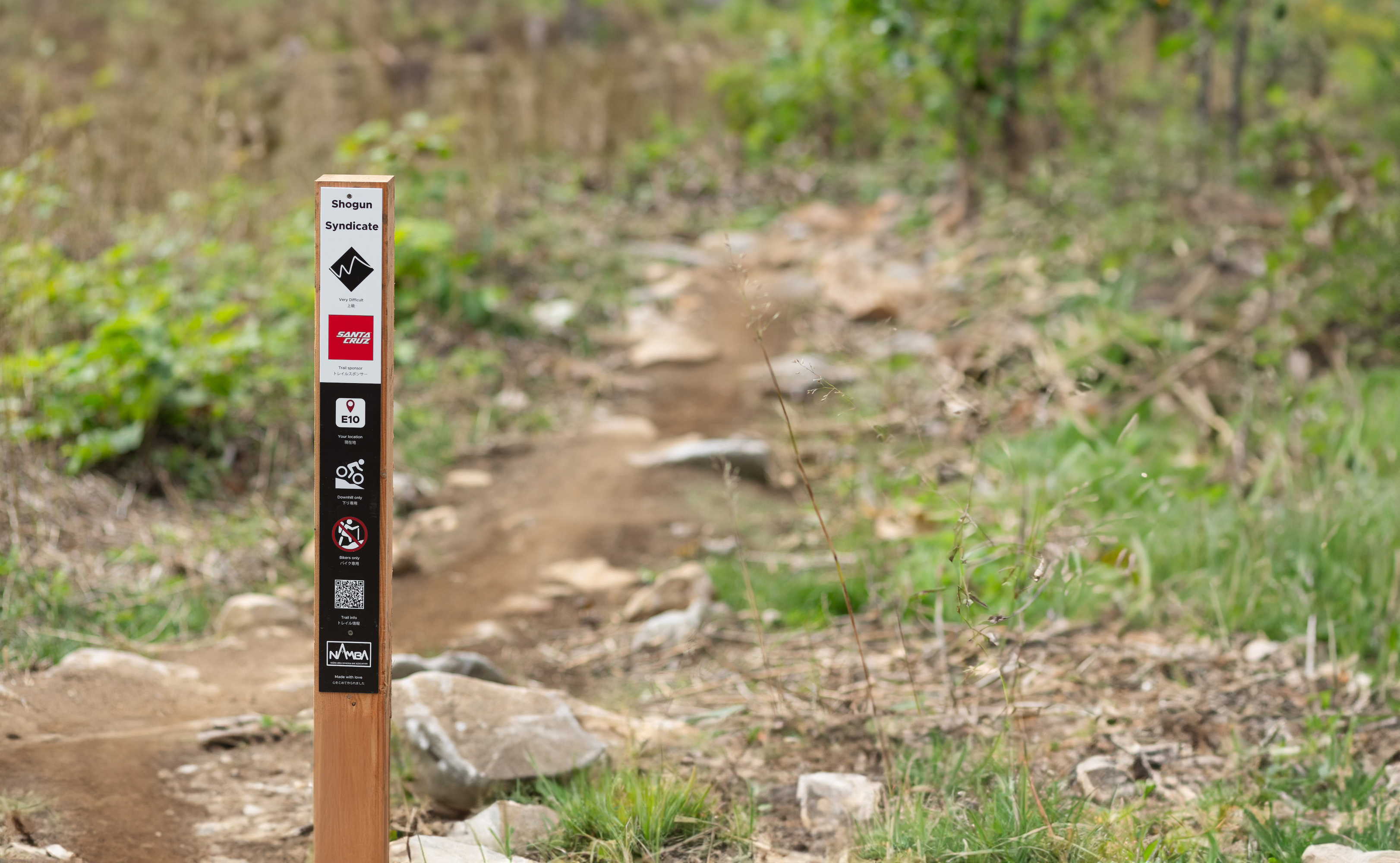
Reading a trail sign

- Trail nameThe name of the trail you're on.
- Difficulty ratingHow technical the trail is. See the ratings
- SponsorThe partner who funded the build of the trail.
- Location codeWhere you are on the trail, for meeting friends or contacting emergency services. See "Your location"
- DirectionWhich way you can ride the trail. See trail direction
- Trail usersWho else may be using the trail. See trail users
- QR codeScan it for the trail's Trailforks page: detailed map, recent trail reports, and live conditions.
- Riding areaIdentifies which riding area you're in. NAMBA at Twin Peaks; the resort logo at Grand Hirafu and Niseko Hanazono.
Difficulty ratings
Difficulty follows the IMBA international system, the same colour scale you'll see at bike parks and ski resorts worldwide.
Green
Easy
Wide trail, gentle gradient, smooth surface. Good for beginners and families.
Blue
More Difficult
Narrower trail, steeper grade, some rougher sections. Some mountain biking skill required.
Black
Very Difficult
Steep, technical, with obstacles. Strong skills and solid experience required.
Double Black
Extremely Difficult
Severely steep and technical, with large drops, rock features, and exposure. Expert riders only.
Trail direction

One way
Ride in the marked direction only.

Two way
Ride in either direction.

Downhill only
Descending only. No climbing.

Uphill only
Climbing only. No descending.
Trail users

Multi-use
Shared with hikers and trail runners. Give way and call out as you approach.

Bikes only
No hikers or trail runners.
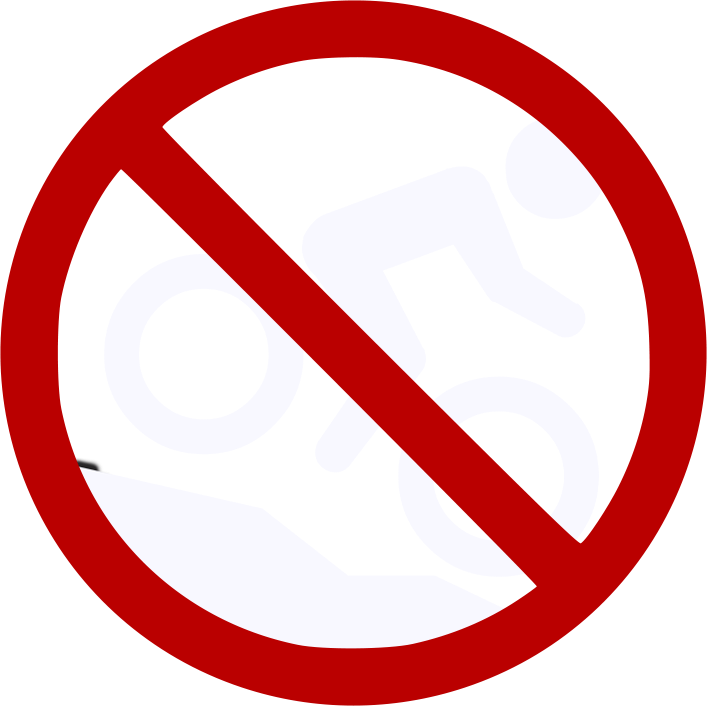
No bikes
Hikers and trail runners only.
Your location
Every NAMBA-managed trail is divided into short marked sections. The code on each sign tells you exactly where you are. If you're meeting friends, sharing the code beats describing the spot. If you need help, give it to emergency services and they can find you within metres.


